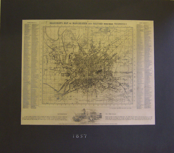
Bradshaw's Map of Manchester and Salford, 1857
Summary
Map of the area, showing street and building layouts. There is a grid system printed on top of the map, and on the left and right can be seen references to the grid, so places are easy to find. Centre bottom is the image of a large domed building, with the writing underneath "MANCHESTER ROYAL INFIRMARY"
Object Name
Bradshaw's Map of Manchester and Salford, 1857
Date Created
1857
Dimensions
whole: 34cm x 39.3cm
accession number
1981.195
Collection Group
Place of creation
United Kingdom
Support
paper
Medium
print on paper
Credit
Gift of Old Manchester Committee, 1909
Legal
© Manchester Art Gallery

