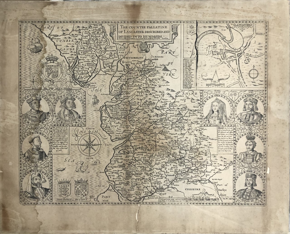
The Countie Pallatine of Lancaster described and divided into hundreds
Summary
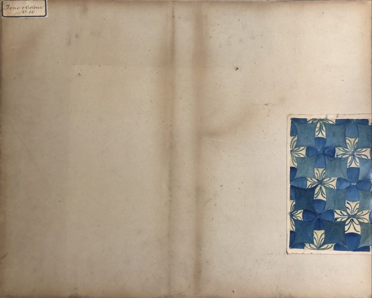
Printed map showing 'The Countie Pallatine of Lancaster Described and Divided Into Hundreds'. The map shows the north-west of England between Cheshire, Cumberland and Yorkshire. Hills and mountains are drawn are scattered across the county, depicted in side-view. The City of Lancaster is featured as an inset, as are a selection of head-and-shoulders portraits of kings and a queen. Rivers are delineated, 'hundreds' (subdivisions of the county) are labelled, and a mermaid, compass, ship and coats-of-arms are shown against the portion of the map that covers the north sea. On the reverse of the map is pasted an exercise in pattern-design in blue ink or watercolour. A label, which may or may not relate to it, is also pasted on the back, reads 'Tone and Colour no. 10'.
Object Name
The Countie Pallatine of Lancaster described and divided into hundreds
Creators Name
Dimensions
support: 59cm x 48cm
accession number
M21204
Collection Group
Support
paper
Medium
ink


